North Korea’s Version of the World Map
Unveiling North Korea’s Version of the World Map: A Distorted Lens of Power and Propaganda
For decades, North Korea (officially the Democratic People’s Republic of Korea, or DPRK) has cultivated an insular worldview shaped by the ruling Kim dynasty’s ideology of Juche, or self-reliance. This unique perspective extends even to its cartography. North Korea’s version of the world map is not just a geographical tool—it’s a vivid instrument of propaganda, designed to reinforce state narratives, amplify its perceived global importance, and erase challenges to its legitimacy.
The Ideological Foundation: Why Distort Geography?
North Korea’s maps reflect the regime’s core political agenda:
- Juche-Centered Worldview: Maps prioritize the Korean Peninsula, often depicting it larger than reality, while shrinking nations deemed hostile (like the U.S. or Japan).
- Anti-Imperialist Messaging: Traditional adversaries are minimized or labeled pejoratively.
- Legitimacy Reinforcement: South Korea is labeled “South Chosun” or portrayed as a puppet state, while the entire peninsula is depicted as one entity under Pyongyang’s control.
This geographic manipulation serves to instill nationalism, reinforce loyalty to the Kim regime, and isolate citizens from external realities.
Key Distortions in North Korea’s World Map
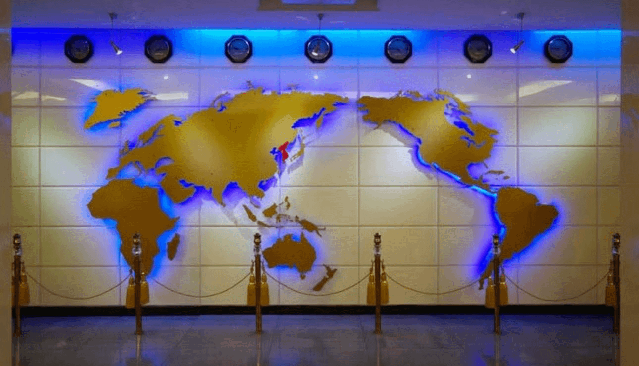
1. The Korean Peninsula as the Center of the World
In typical DPRK maps, North Korea dominates the frame, often unnaturally enlarged relative to its neighbors. Pyongyang is highlighted with exaggerated infrastructure (e.g., the Ryugyong Hotel), while Seoul and other South Korean cities appear small or generic. The border between North and South is sometimes blurred or omitted entirely, implying unification under Pyongyang.
2. Rewriting Geopolitical Relationships
- China and Russia are depicted favorably as ideological allies, often retaining accurate proportions.
- Japan is drawn smaller and placed unnaturally close to Korea, evoking historical grievances and threat narratives.
- The United States is minimized geographically, and its name may be rendered in derogatory fonts or omitted from insets.
3. Territorial Claims and Omissions
- South Korea: Labeled as “Occupied Korea” or excluded as a sovereign entity.
- Sea Borders: The Northern Limit Line (NLL) in the Yellow Sea is redrawn to favor DPRK claims.
- Global Hotspots: Regions critical to North Korean diplomacy (e.g., Syria, Iran) may receive disproportionate emphasis.
4. Symbolism Over Accuracy
- Colors: Vivid reds and blues denote allegiance (red for socialist allies) or hostility (often black for enemies).
- Annotated Power: Military sites, missile ranges, and industrial complexes are exaggerated to project strength.
- Silenced Realities: Maps exclude references to sanctions, poverty, or foreign aid dependency.
Domestic vs. International Editions
North Korea publishes two distinct map variants:
- Domestic Maps: Distributed to schools and government offices, these emphasize Juche principles and erase “undesirable” details (e.g., references to the Korean War or foreign influences).
- International Maps: Rarely seen abroad, these show slight concessions to standard geography to avoid mockery, though core distortions remain.
The Role of Cartography in Propaganda
Maps are potent psychological tools in North Korea:
- Educational Indoctrination: Children learn from maps that glorify the regime and villainize outsiders.
- Manufactured Superiority: Citizens internalize a worldview where North Korea is powerful, central, and besieged by enemies.
- Information Control: Distorted maps complement state media narratives, stifling dissent or curiosity about the outside world.
Challenges in Verification
Accessing authentic North Korean maps is difficult due to strict state control. Most analyses rely on:
- Defector testimonies.
- Propaganda posters and textbooks.
- Digital recreations by researchers.
- Satellite imagery comparisons (revealing discrepancies in city sizes or landmarks).
SEO Keywords Integration
- North Korea world map
- DPRK propaganda maps
- Juche geography
- Distorted political cartography
- Korean Peninsula maps
- North Korea vs South Korea map
- Pyongyang-centric worldview
- Anti-imperialist geography
Conclusion: Maps as Weapons of Perception
North Korea’s world map is a masterclass in weaponized cartography. By reshaping borders, magnifying its own prominence, and demonizing rivals, the regime sustains a parallel reality for its people. Understanding these distortions is key to decoding the DPRK’s psychological grip on its citizens and its relentless projection of ideological invincibility.
For researchers and global observers, these maps don’t just mislead—they lay bare the lengths authoritarian regimes will go to control truth itself.
Explore Further: For other examples of political map distortions, see our analyses of [Russia’s Crimea Claims] or [China’s South China Sea Maps].
Note: Due to North Korea’s secrecy, details are compiled from defector accounts, archived materials, and expert analysis. Map images may be scarce or censored internationally.